
Kernavė Trail
Kernavės archeologijos ir istorijos muziejus
-
Distances: 9 km, 10 km, 19 km, Half Marathon, 33 km, Marathon, 82 km
-
Surface: Trailo
-
Location: Kernavės archeologijos ir istorijos muziejus
-
Date:
13 Jun
Race description
All information on this page is based on open source data. We do our best to keep it updated but cannot guarantee that everything is correct. If you see any inaccuracies, contact us and we will correct it as soon as possible.
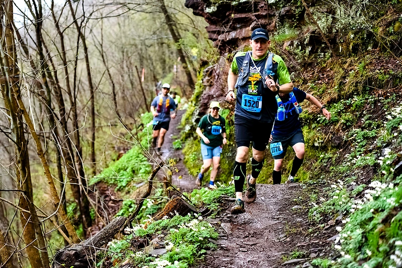
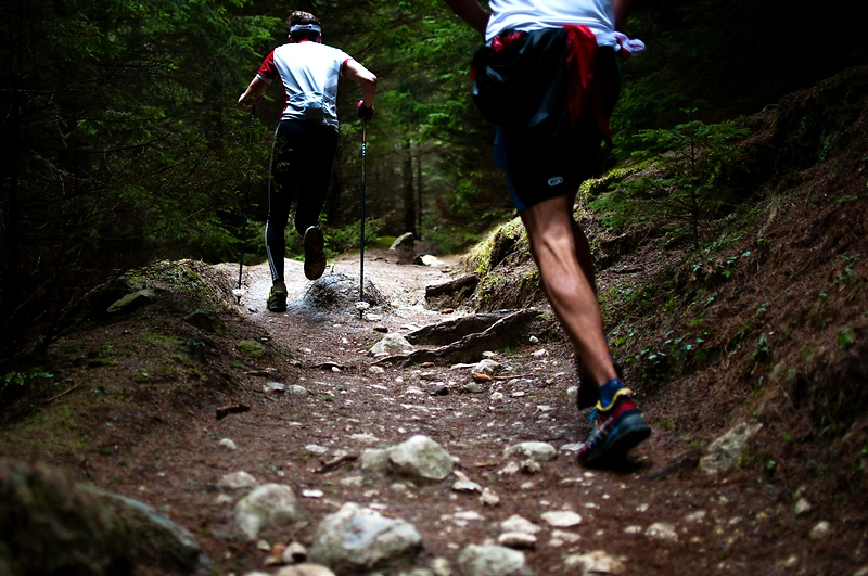
The Kernavė – Vilnius Trail race is the longest ultra-distance trail race in Lithuania, having started in 2015. This race connects the 13th-century capital, Kernavė, with the present-day Vilnius, running through picturesque nature trails. Although the distance between these cities in a straight line is about 35KM, the course winds through hills and forests, extending the distance to 82KM. Participants will ascend a total of 1600m on the course, so we invite you to challenge yourself and discover the stunning nature on the outskirts of Vilnius and Kernavė.
Highlights
- About 80% of the course runs through forests, while the remaining part follows the Neris River, wild meadows, and small local villages.
- Starting your journey from the Kernavė Archaeological and Historical Museum, you will soon reach the Church of the Blessed Virgin Mary of the Scapular and the Kernavė mounds.
- Climbing to the tops of the hills, you can admire the breathtaking panorama overlooking the bends of the Neris River and the Pajauta Valley.
Questions & Answers
Additional information
Detailed information
- Race name: Kernavė Trail
- Location name: Kernavės archeologijos ir istorijos muziejus
- Distances: 9 km, 10 km, 19 km, Half Marathon, 33 km, Marathon, 82 km
- Organizer website: https://www.kernavetrail.lt/
- Surface / Race type Trailo